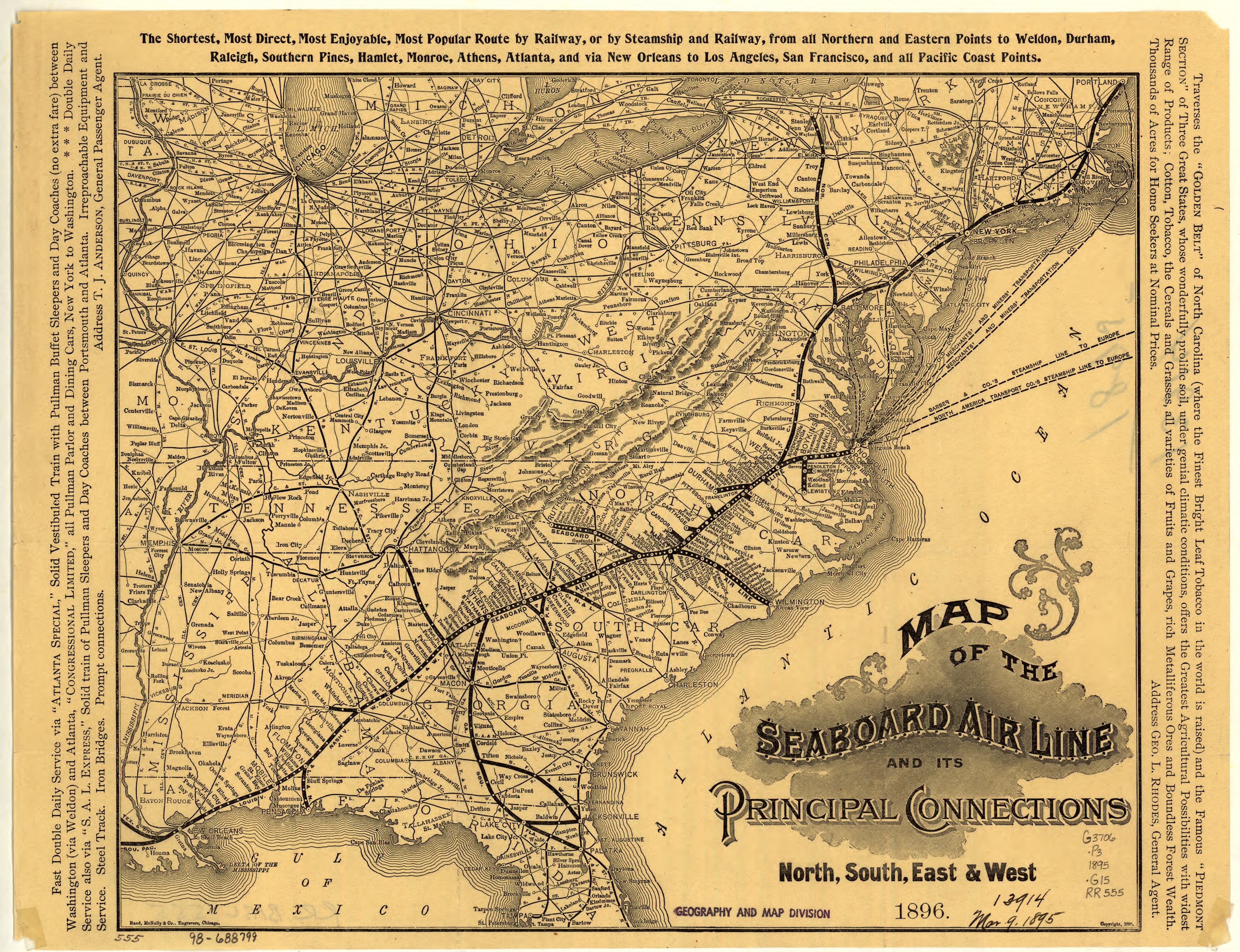
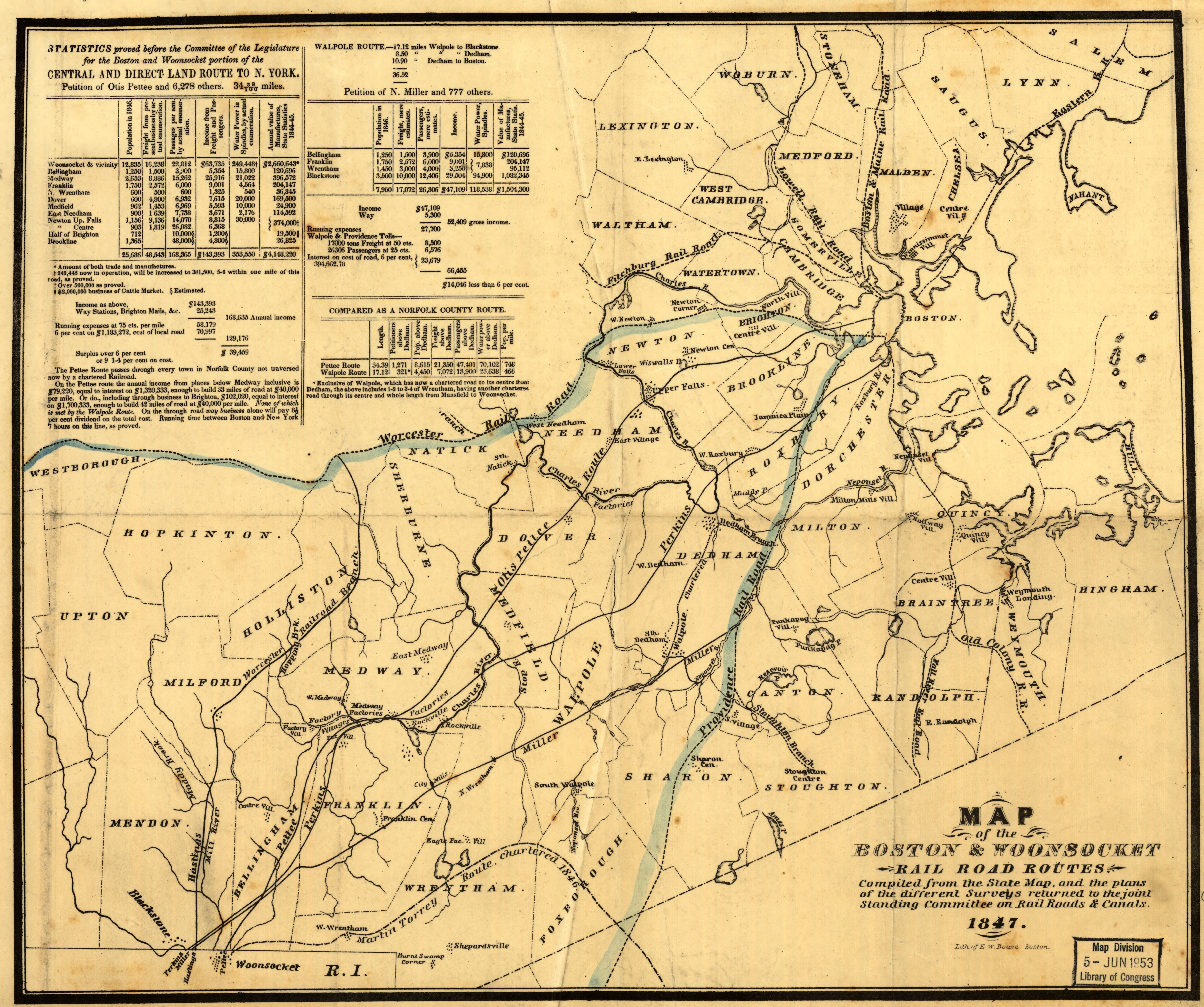
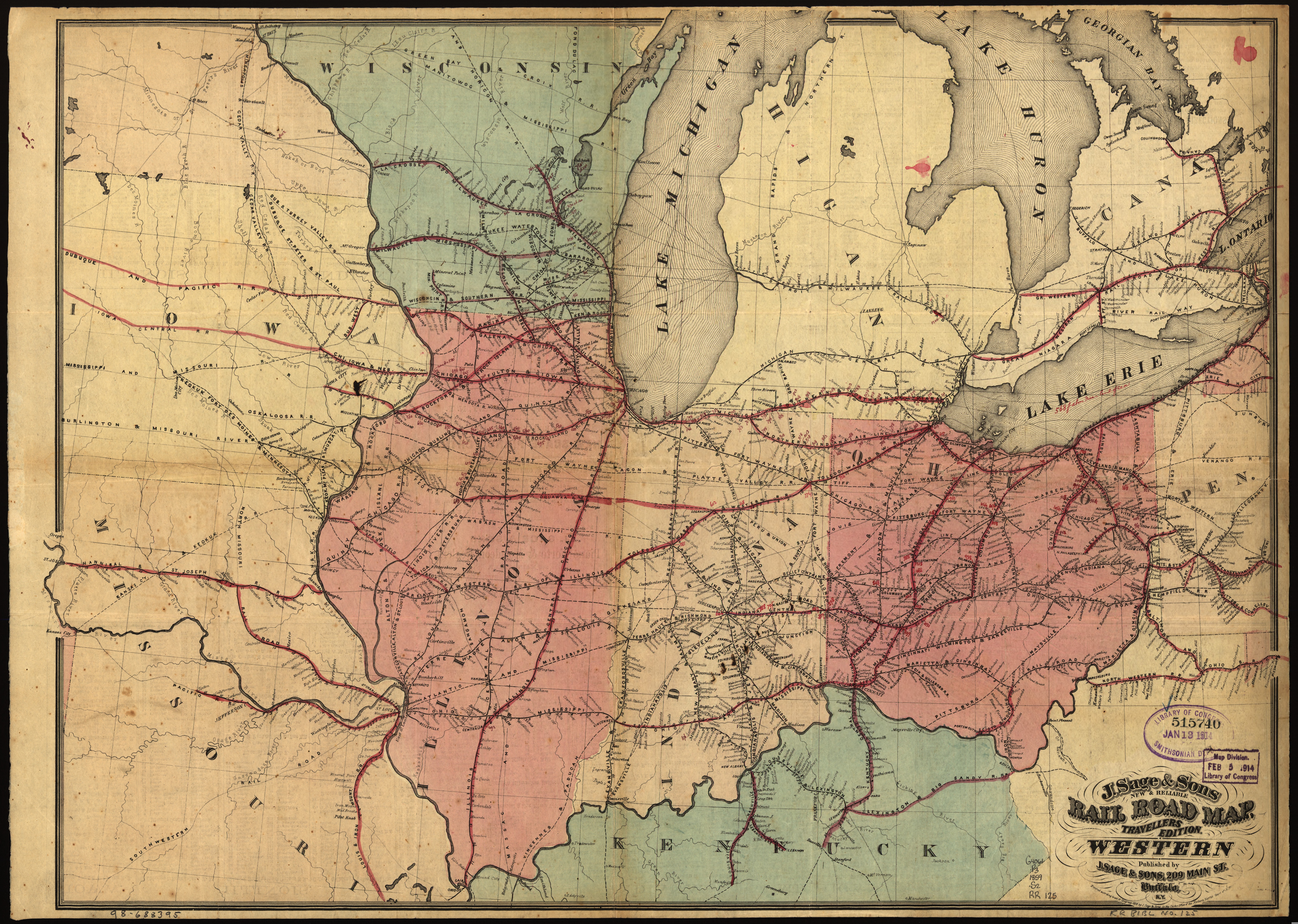
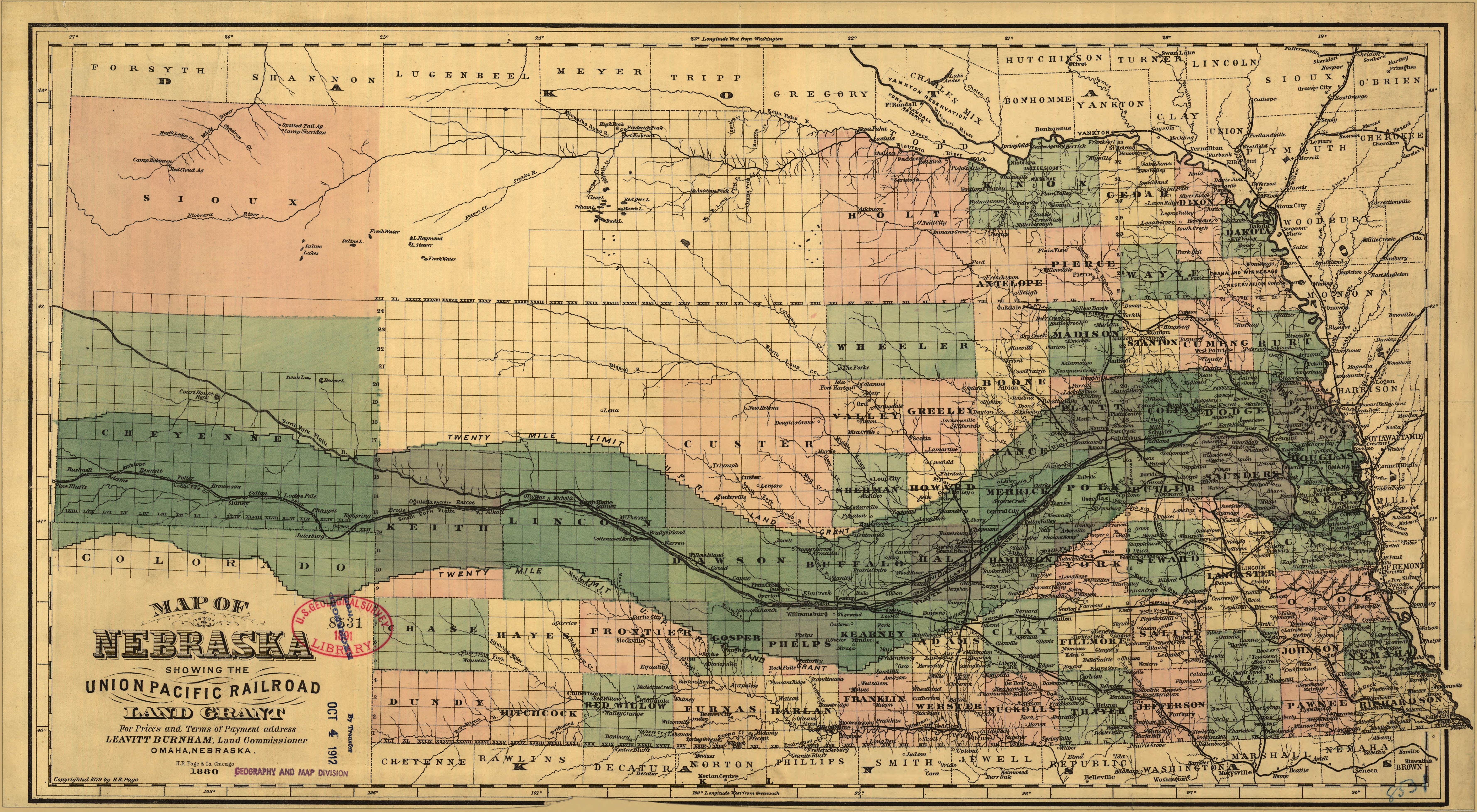
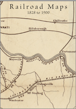
Railroad Maps, 1828 to 1900. (614 maps). The Railroad maps represent an important historical record, illustrating the growth of travel and settlement as well as the development of industry and agriculture in the United States. They depict the development of cartographic style and technique, highlighting the achievement of early railroaders. Included in the collection are progress report surveys for individual lines, official government surveys, promotional maps, maps showing land grants and rights-of-way, and route guides published by commercial firms. *See full size samples below.
Railroad Maps, 1828 to 1900 on 16gb USB 23.95
Free Shipping USA and Canada
Collection Details:
- 614 maps, high resolution JPEGS.
- PDF map gallery to browse entire collection.
Exceptional Content...Legendary Service


Compilations and Designs
© 2026 Civil War Digital

NEW...The Red River Campaign
NEW...Official Records Sale !!