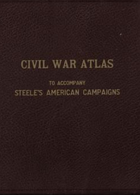
Civil War Atlas to accompany Steele's American Campaigns was prepared by the Department of Military Art and Engineering at the United States Military Academy, West Point. It was edited by officers such as Lt. Col. T. D. Stamps and Col. Vincent J. Esposito and published in various editions, notably around 1941 and 1945. The atlas was created for use in the military history course at West Point. It contains 136 double-page, three-color maps that detail specific campaigns and battles of the Civil War. The maps are known for their consistent legend, color coding, and notations, making them a valuable resource for studying military tactics and terrain.

Civil War Atlas to accompany Steele's American Campaigns
on 8gb USB 19.95
Exceptional Content...Legendary Service


Compilations and Designs
© 2026 Civil War Digital

NEW...Civil War Stereographs