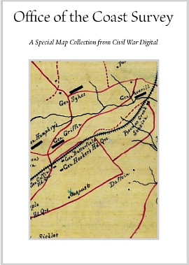
Historical Map Collection from the Office of the Coast Survey. Several Army and Navy officers of the Civil War had at some point been detailed to the Office of Coast Survey. During the Civil War the ships belonging to the United States Coast Survey were loaned to either the US Navy or US Revenue Marine, while several of the United States Coast Survey were seized by the Confederacy. It can not be denied that the pre Civil War work of the was important for the conduct of Civil War and the work of the USCS was very important during the Civil War. USCS added additional lithographic presses to produce the thousands of charts required by the Navy and other vessels. USCS parties were detailed to work with the blockading squadrons and even the US Army to prepare topographic maps of land and hydrographic surveys of water ways. Alexander Dallas Bache, the Coast Survey superintendent, served as one of the four members of the Blockade Strategy Board. The map that showed the density of the slave population made by Coast Survey cartographer Edward Hergesheimer was familiar to many and also may have of use to the US Army. Without the charts and maps provided by the USCS it would have been nearly impossible for the Union to set up an effective blockade and without charts coastal targets and forts could not have been attacked.
Historical Map Collection from the Office of the Coast Survey on 16gb USB 24.95
Exceptional Content...Legendary Service

Compilations and Designs
© 2026 Civil War Digital

NEW...The Red River Campaign